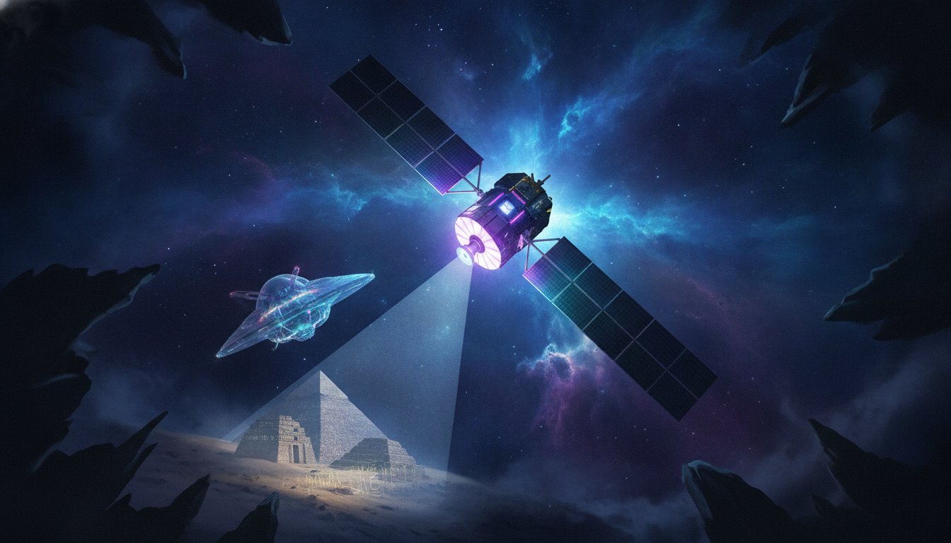
On August 13, 2014, the landscape of Earth observation from space was profoundly altered with the successful launch of WorldView-3. Developed by DigitalGlobe, this high-resolution imaging satellite soared into orbit atop a United Launch Alliance Atlas V rocket from Vandenberg Air Force Base in California, immediately setting new benchmarks for commercial remote sensing capabilities. At the time of its deployment, WorldView-3 was celebrated as the sharpest-eyed satellite ever created, capable of resolving features as minute as 1 foot (31 centimeters) across.
Unprecedented Vision: A New Era in Earth Imaging
What truly set WorldView-3 apart was its unparalleled imaging prowess. Its sophisticated instruments were designed not only for extraordinary resolution but also for the ability to peer through challenging atmospheric conditions like fog and smoke. This capability offered a level of detail and clarity of Earth's surface that had been previously exclusive to government-operated spacecraft. The launch of WorldView-3 didn't just add another satellite to orbit; it initiated a new chapter in how we collect and interpret data about our home planet, pushing the boundaries of remote sensing technology.
Catalyzing Environmental Monitoring and Climate Research
WorldView-3 rapidly became an indispensable tool for a myriad of applications, especially in environmental science and climate change research. Its high-resolution imagery and rapid data delivery transformed the study of Earth from space. A key application has been its contribution to better tracking methane emissions, particularly from offshore oil and gas rigs. Methane, a potent greenhouse gas, is a significant contributor to climate change, and WorldView-3's precise data has been instrumental in monitoring these plumes, offering critical insights for environmental regulation and mitigation strategies.
Beyond methane, the satellite's comprehensive data aids researchers in understanding and combating deforestation, optimizing agricultural practices, and closely monitoring the spread and effects of natural disasters. From tracking the devastation left by wildfires to assessing the impact of floods and droughts, WorldView-3's consistent and detailed observations provide vital information for disaster response and long-term environmental planning.

Advanced Data Processing for Optimal Insights
The sheer volume and complexity of data captured by WorldView-3 necessitated equally advanced processing. An intelligent algorithm was developed to sort, filter, process, and color-correct the images, mitigating the distorting effects of the atmosphere. This ensured that the data delivered to scientists and researchers was of the highest possible quality, enhancing the accuracy of their analyses and accelerating discoveries.
An Unexpected Glimpse into Ancient History
While its primary mission revolved around contemporary Earth observation, WorldView-3 delivered an astonishing and wholly unexpected archaeological discovery. In 2015, just a year after its launch, an international team of archaeologists utilized the satellite's near-infrared imagery to identify what they believe to be a lost Viking village in Newfoundland. This groundbreaking find marked only the second confirmed Viking settlement discovered in North America, offering invaluable new perspectives on early transatlantic exploration and settlement.
The ability of WorldView-3 to capture specific spectral bands, including near-infrared, proved crucial in discerning subtle changes in vegetation and ground composition that hinted at ancient structures beneath the surface. This accidental yet profound contribution underscores the versatile and far-reaching potential of advanced Earth-observing satellite technology, extending its utility far beyond its initial environmental and scientific mandates.
WorldView-3's legacy is undeniable. It not only advanced the technological frontier of commercial space exploration but also provided tangible, actionable data that continues to shape our understanding of climate, ecology, and even the hidden chapters of human history. As satellite technology continues to evolve, WorldView-3 remains a shining example of how innovative space missions can profoundly impact life on Earth.




0 Comments
Login to leave a comment.