Witnessing Giants: Himalayan Glaciers from the International Space Station
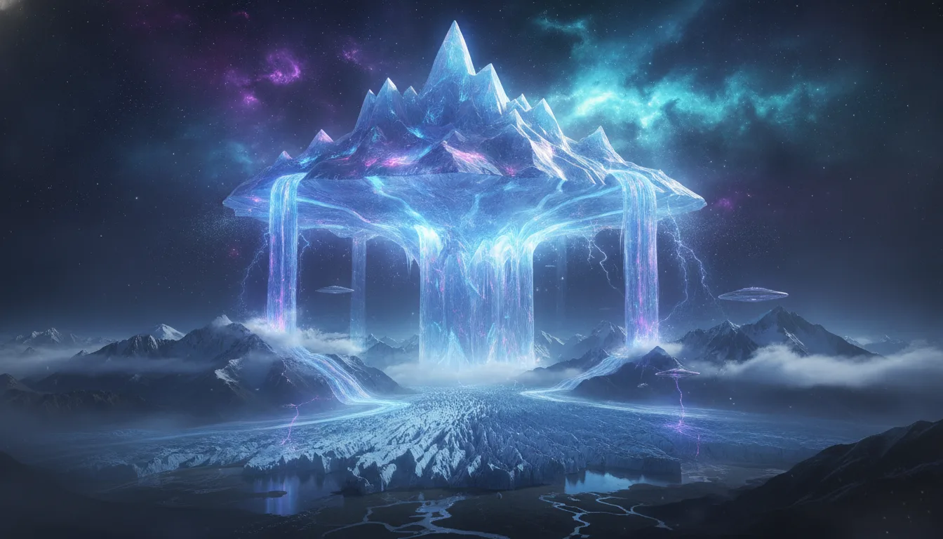
From an astounding vantage point 259 miles (417 kilometers) above our planet, the International Space Station (ISS) routinely offers humanity breathtaking glimpses of Earth's natural wonders. On a notable day in May, NASA astronaut Jessica Meir captured one such awe-inspiring spectacle: the colossal glaciers of the Himalayas, seemingly flowing like rivers of ice across the rugged landscape. This extraordinary "space photo of the day" for July 15, 2026, served as a powerful reminder of both Earth's grandeur and the critical role of space-based observation in understanding our changing world.
A Unique Perspective on Earth's Tallest Peaks
The image reveals the northern slopes of the majestic Himalayas, a mountain range that forms a natural boundary between Nepal and China's Tibetan Plateau. What makes this view truly unique is the immense scale it conveys. While a localized view from a helicopter or ground expedition offers intimate details of individual peaks, the perspective from the ISS allows for a sweeping panorama, showcasing a vast expanse of these icy giants in motion. The Himalayas are home to the world's highest mountains, including the iconic Mount Everest, boasting over 110 peaks that soar past 24,000 feet (7,300 meters) above sea level. Spanning approximately 1,500 miles (2,400 kilometers) across five countries – Nepal, India, China, Bhutan, and Pakistan – the sheer enormity of this mountain range is almost unfathomable from the ground. Only from the cosmic vantage point of space can one truly grasp its vastness and the dynamic geological processes at play. This wider perspective offers profound insights into the Earth's majestic and sometimes mysterious geology.
Glaciers in Motion: Sentinels of Climate Change
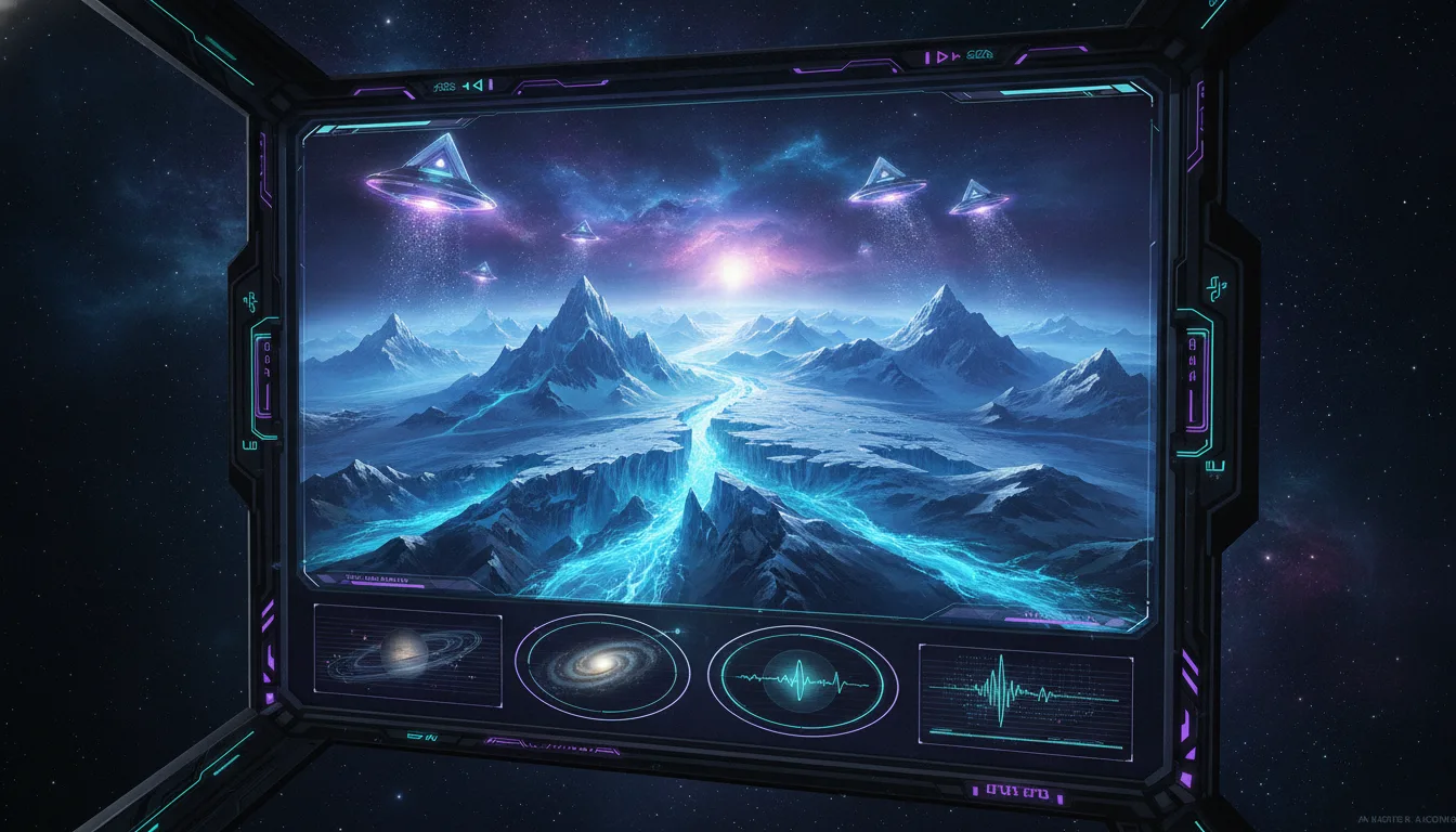
The rivers of glacial ice captured by Meir are not static monuments; they are slow-moving, powerful forces that continuously carve their way downhill. These massive ice formations, often appearing as frozen giants, are vital indicators of our planet's health. Their movement, melt rates, and overall health are directly linked to global climate patterns and atmospheric changes.
The ability to monitor these immense glacial flows from space is an invaluable asset in the ongoing fight to understand and combat climate change. As global temperatures continue to rise, leading to accelerated ice melt and subsequent sea-level rise, continuous space-based observation provides scientists with crucial data. Researchers can track the precise ways glaciers melt, move, and flow across the globe, gathering information that is impossible to obtain through ground-based methods alone. This satellite data is fundamental for creating accurate climate models, predicting future environmental impacts, and informing strategies to protect our planet and its diverse inhabitants from the escalating effects of a warming climate. Such comprehensive data from space helps unravel some of the deepest space mysteries concerning Earth's geological and atmospheric evolution.
The Power of Space Observation
This extraordinary photograph serves as more than just a beautiful image; it underscores the indispensable role of space exploration and observation in our evolving understanding of Earth. From the subtle shifts of glaciers to the broader patterns of ocean currents and atmospheric phenomena, satellites and orbital stations provide a continuous, macroscopic view of our planet's intricate systems. This unparalleled access to information empowers scientists, policymakers, and communities worldwide to make informed decisions for a sustainable future, highlighting how space technology helps us safeguard our home world.



0 Comments
Login to leave a comment.